

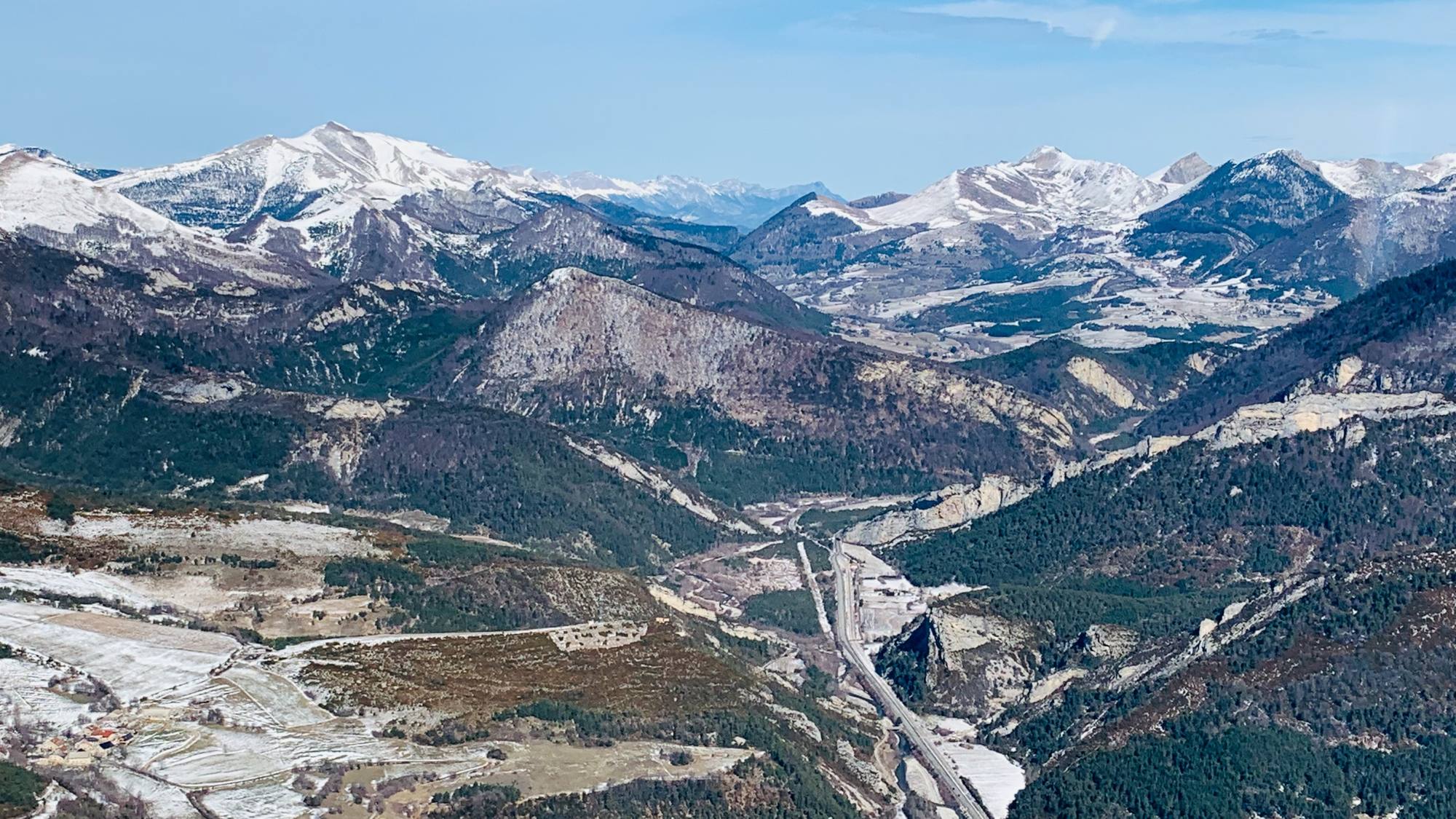
FlyingAltiport or mountain landing strip · LF6627
Plateau de la Calme
Altiport or mountain landing strip · Pyrénées-Orientales (66). Listing taken from BASULM, the federation's airfield database.
Altiport or mountain landing strip · LF6627
Altiport or mountain landing strip · Pyrénées-Orientales (66). Listing taken from BASULM, the federation's airfield database.
The airfield
- Type
- Altiport or altisurface
- BASULM code
- LF6627
- Département
- Pyrénées-Orientales (66)
- Elevation
- 6988 ft
- Runway
- 500 × 100 m, snow
Contact and BASULM sheet
- Telephone
- +33 4 69 30 91 11
- Coordinates
- 42.53056, 2.00417N 42° 31′ 50″ · E 2° 00′ 15″
BASULM sheet (PDF) View on a map
Before every flight, check the up-to-date entry on BASULM and contact the manager: access conditions can change, and some airfields require prior permission.
Nearby
8 airfields within 50 km
- Mont Llaret Pic d'AudeAltiport or mountain landing strip · LF66236 km
HDG 030° - Mont Llaret Roc d'AudeAltiport or mountain landing strip · LF66266 km
HDG 017° - HippopotameAltiport or mountain landing strip · LF66257 km
HDG 149° - Coste del PalmMountain landing strip (altisurface) · LF66219 km
HDG 004° - Ste LéocadieAerodrome · LFYS · prior permission required9 km
HDG 179° - La Llagonne La QuillaneAerodrome · LFNQ · prior permission required10 km
HDG 081° - Clos de LeguaMountain landing strip (altisurface) · LF662414 km
HDG 012° - Col de la MarranoMountain landing strip (altisurface) · LF662220 km
HDG 042°
They support the federation
All our partners