
Aeronautics class in Alsace - Episode 9: June 2023 - The BIA exams and the end of the school year at the lycée
News from 15 February 2023. Last updated on 4 July 2023: some information may have changed. Latest news
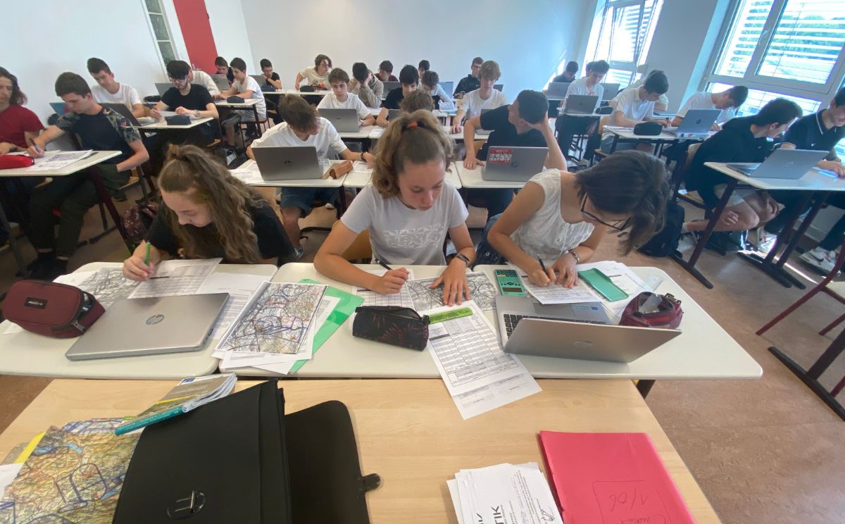
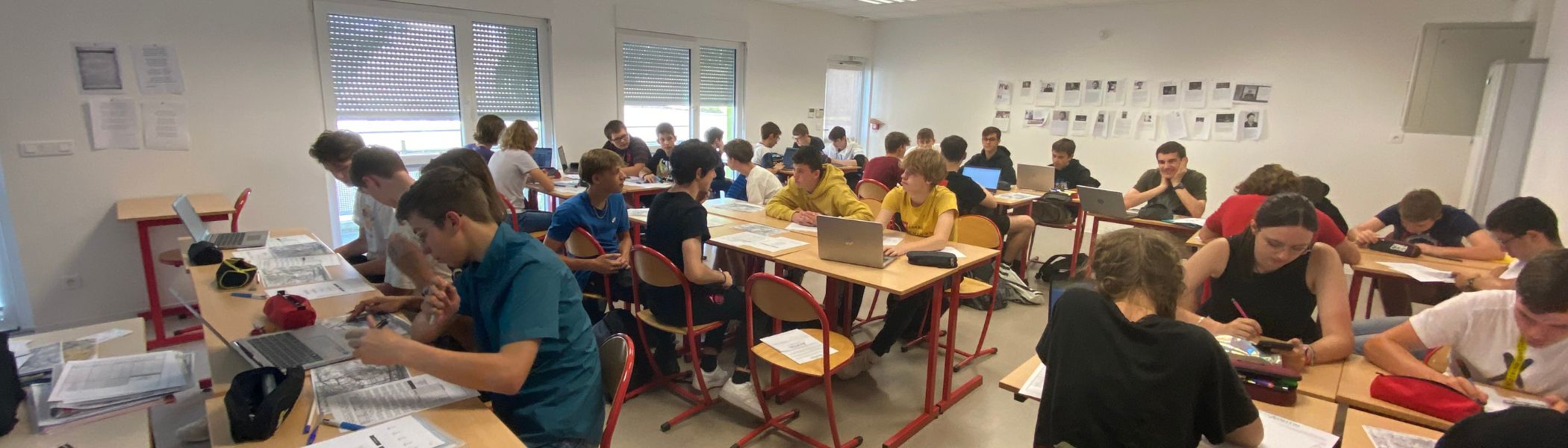
The 2023 BIA exams took place on 31 May, the culmination of a year of work and many discoveries for the students of the ISAS Year 10 class. These last few lessons in June, which mark the end of the school year at the lycée, will give the students a chance to put their theory into practice by planning a navigation exercise, which they will carry out during their trial flight, playing the role of navigator.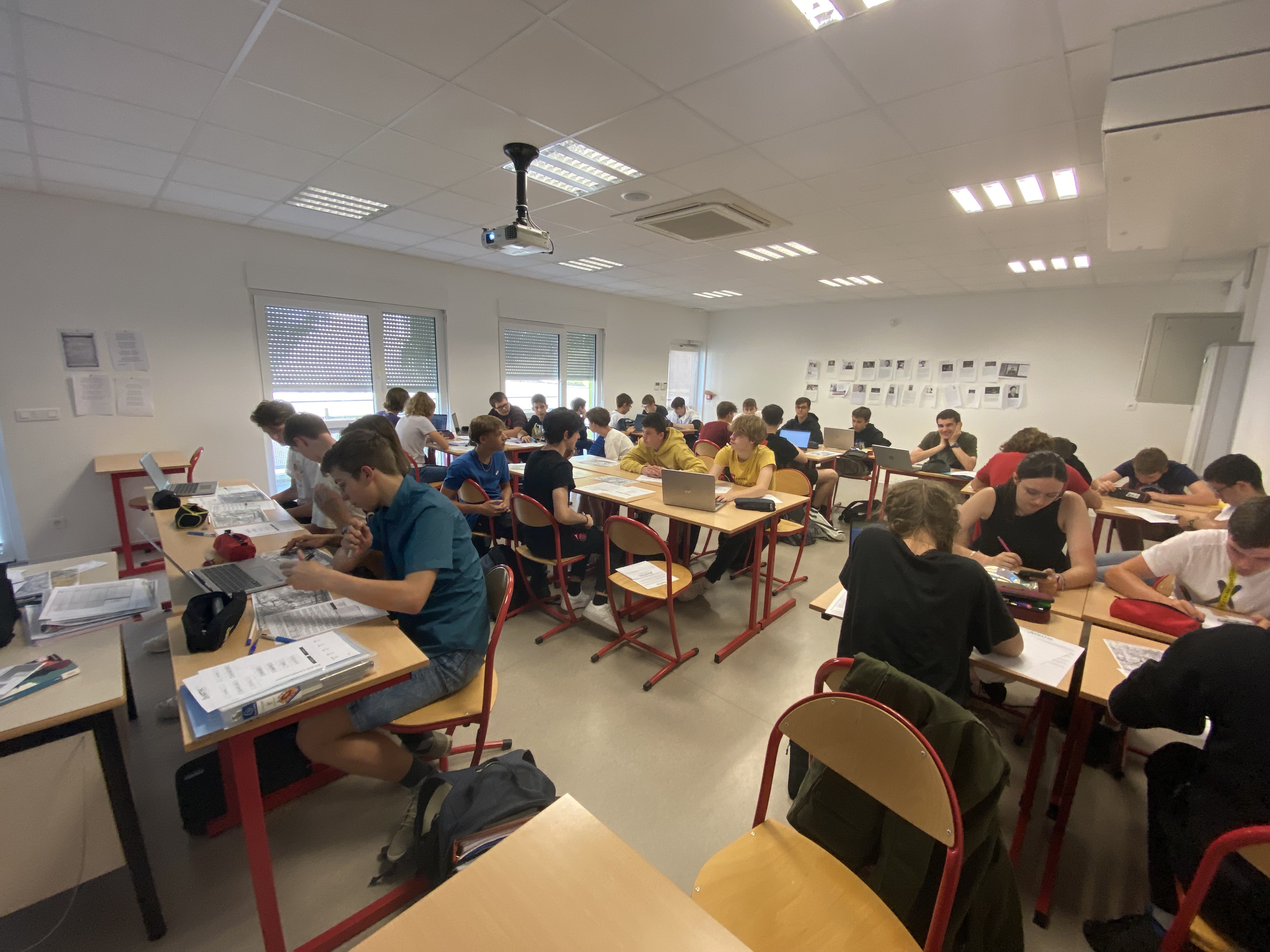
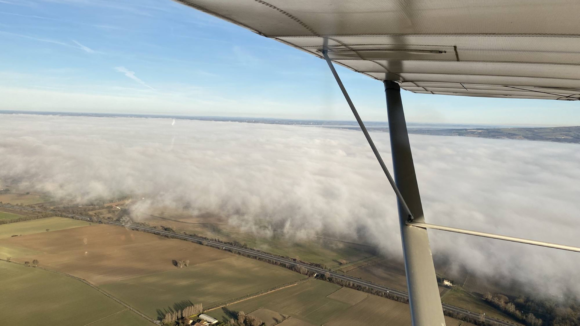
The students were given a navigation exercise of about 50 minutes, an "LFGB-LFGB" with very varied scenery: between the Sundgau and its many forests, the foothills of the Vosges and their deep valleys, and finally the Alsace plain stretching out of sight, all overlooking the city of Mulhouse. A navigation exercise rich not only in landscapes but also in technical challenges, with many constraints: the Mulhouse built-up area (and its regulatory overflight heights), the D253 danger area over the Hardt forest, and of course the presence of LFSB, Basel-Mulhouse airport, which not only makes leaving, entering and overflying LFGB more complex, as these must be done only through very specific points and at a set altitude, but also complicates the navigation itself because of the omnipresent Class D TMA, which demands vigilance over the chosen altitude: full and careful reading of the VAC chart is compulsory!
Equipped with their ICAO chart, navigation log, fuel sheet and VAC chart, the students first started work on the arrangements for the Habsheim approach: marking on the ICAO chart the exit and entry points using the geographic coordinates on the VAC chart (SH south exit and NH north entry) while noting the mandatory altitude and the ground landmarks (south of the village of Bruebach for SH and the motorway interchange for NH). The students were thus able to see that VFR flying really is flying by sight!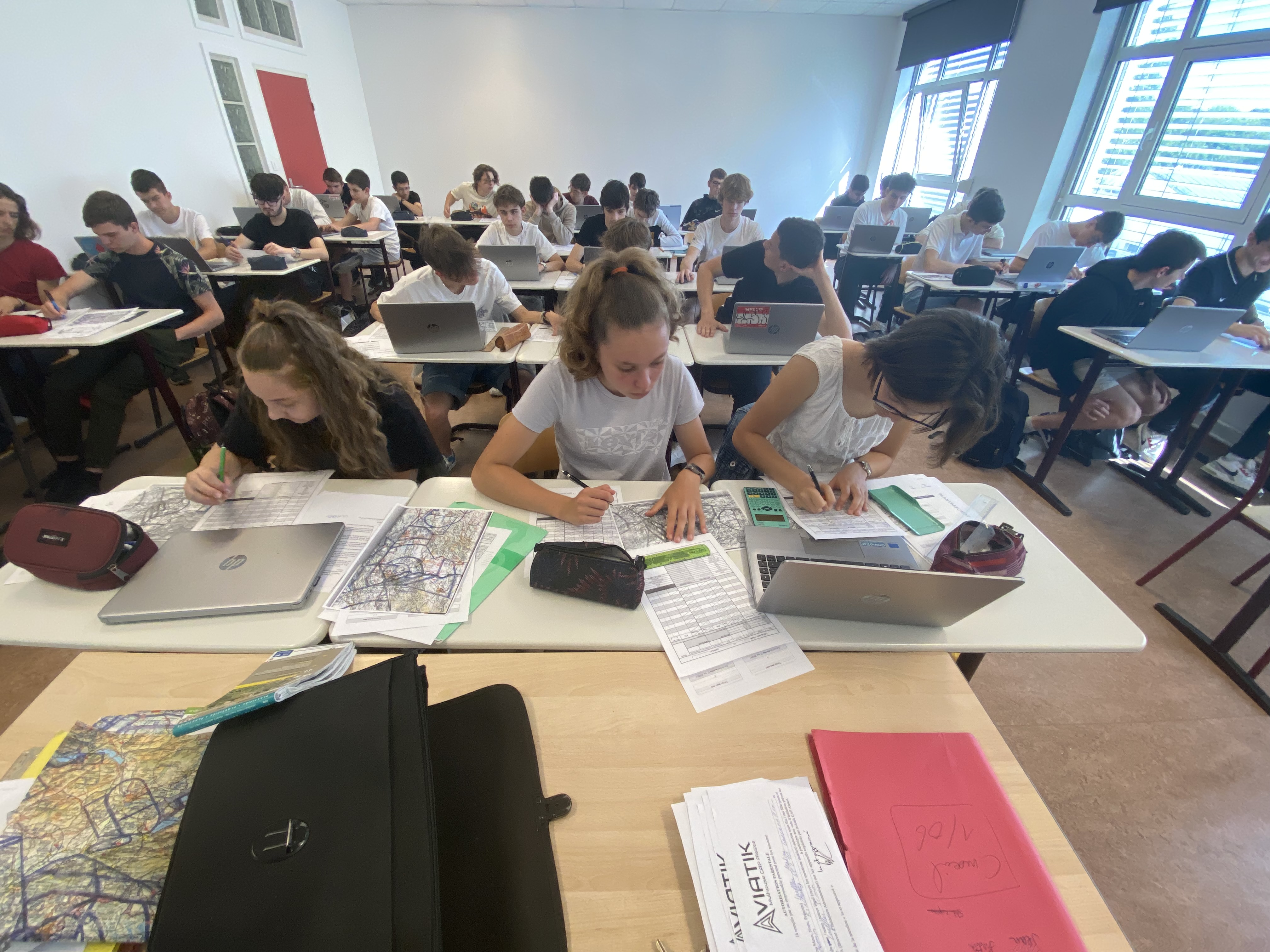
Next came the time to mark the famous "turning points", landmarks that make it possible to avoid getting lost without GPS: using the diversion square, the meridians and the aircraft's base factor, the students were able to work out the essentials for this dead-reckoning navigation: magnetic track, distance and time between turning points. After determining the altitudes to fly between these "way points" and noting the radio frequencies to use (notably the essential 130.9 of the Basel SIV), all that remained was to calculate the mass of fuel to carry using the "fuel balance" that precedes every flight.
A navigation plan that will be updated according to the conditions on the day, which will be a chance to revise, among other things, the difference between a track and a heading!
Jean PINTA
Text and © Photos
Read earlier episodes
Episode 1 - Opening of the aeronautical class
Episode 2 - Discovering the adventurers of aeronautics and space
Episode 3 - Visit to an aircraft maintenance company for the ISAS Year 10 class
Episode 4: Aeronautics-themed competition
Episode 5: Justine's first flying experience
Episode 6: Aeronautics course and class inauguration
Episode 7: Open Day and control tower visit
Episode 8: Talk by the President of Aviatik CAP Alsace, an aviation doctor