
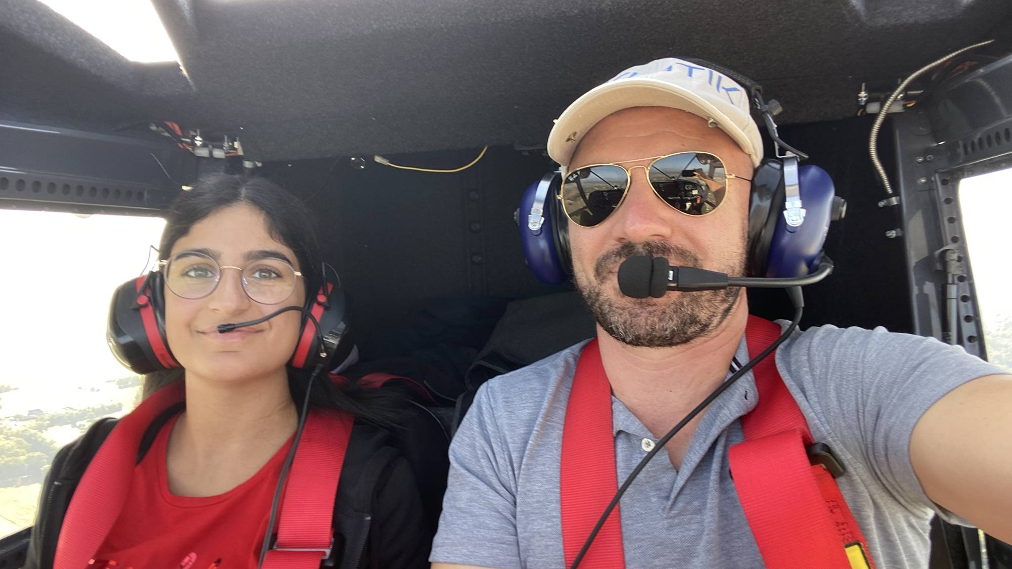
How to see and be seen better?
By Louis Collardeau, 1st Vice-President of FFPLUM, President of the EMF
- 4victims of the mid-air collision between a microlight and an aeroplane in 2020
- 5 000 ftheight up to which GSM coverage works very well
- 95%of the territory and more, covered by the GSM network
A short progress update on the development of in-flight collision-prevention devices to help pilots improve how they monitor their surroundings, within the VFR “see and be seen” concept, by giving a visual and/or audible indication of the proximity and direction of another aircraft nearby.
The whole aviation community was deeply affected last year by the tragedy of the mid-air collision between a microlight and an aeroplane, which claimed 4 lives, with 2 particularly careful and experienced pilots on board. More recently, a similar accident occurred between 2 microlights that collided in flight and, luckily, there were no casualties. Which pilot has not been surprised one day by another aircraft they had not seen?
This risk remains a major concern for everyone who practises VFR aviation.
The FLARM device has been standard on gliders for a good ten years, which has very effectively reduced the risk of collisions that used to be the main cause of glider accidents. The value of this device no longer needs to be demonstrated. But the limit of this system is its high cost for our microlights, its installation and its electrical consumption, which is not always suited to all our ultralight aircraft, or even to non-motorised ones such as paragliders.
Advances in electronics, miniaturisation, the performance of our smartphones and ground coverage by the GSM network now make it possible to envisage, in the very near future, the in-flight use of devices connected to the internet that would allow real-time exchange of position data and proximity alerts between aircraft in flight.
A few simple and inexpensive devices and applications are starting to become available on the market and others are being trialled with very promising results, notably through the use of GSM coverage, which works very well from the ground up to a height of about 5 000 ft (which is where the risks are greatest) and covers more than 95% of the territory; that is far better than radar coverage with transponders…
To put it briefly, every smartphone or small device with a GPS could soon become an anonymous "mini transponder" and, connected to a server via the GSM network, simultaneously transmit its position and altitude and also receive the data of other equipped aircraft nearby.
The DGAC, the BEA and also EASA are showing themselves particularly open and are encouraging the development of these uncertified devices, aware that this is the key to success in moving fast with affordable equipment, a guarantee of wide voluntary use by all pilots.
To improve the reliability of the information, a few difficulties, apparently surmountable, have to be taken into account, such as the necessary "interoperability" of the various existing systems through open sharing of position data, whichever operator is involved (this is about safety and the general interest). And also, as is already the case for ADS-B, the ideal would be to be able to upload to a server the positions of Mode S transponder returns, which are still the most commonly used on recreational aircraft.
In short, like the famous Waze application we use on the roads, here, we hope very soon, is the "Flight Radar" of light aviation… to help us see better what is going on around us!
Waze and Flight Radar, two applications available on your smartphones
No system will replace "see and be seen ", but all the real-time information that contributes to the safety of pilots helps reduce the risk; that is the whole point and value of this equipment.
At the end of these trials, which we are also sharing with other European countries, we hope to come back to you very soon with concrete solutions in the coming weeks.